The Andes Mountains
(South America)
General info
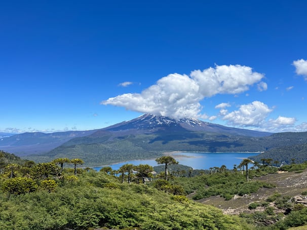
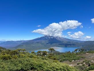
The Andes Mountains are the longest continuous chain of mountains in the world stretching 5,530 miles from north to south. The Andes contains many of the highest peaks in the Western Hemisphere and passes through seven countries in South America: Venezuela, Colombia, Ecuador, Peru, Bolivia, Chile, and Argentina. At their widest point, the Andes are 435 miles and have an average elevation of over 13,100 feet. The Andes topography includes many high altitude plateaus such as the Altiplano Plateau- the second largest world outside of the Tibetan Plateau (Himalayas). Some of the world's highest volcanoes lie in the Andes such as Ojos del Salado on the Chilean-Argentine border with an elevation of 22,615 feet.


Biodiversity
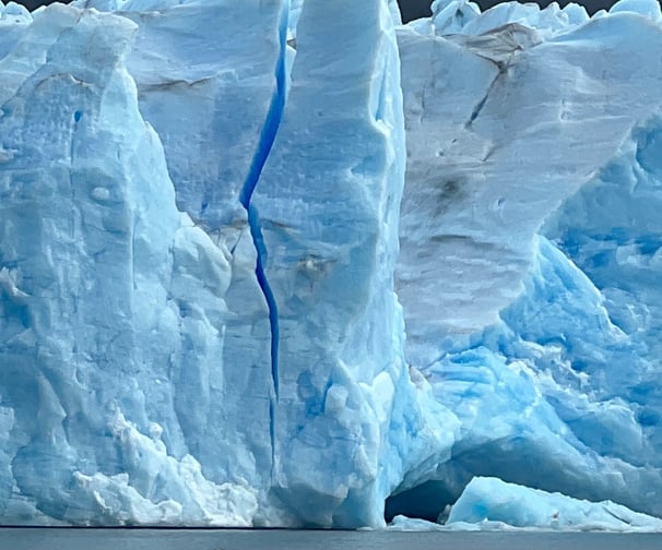
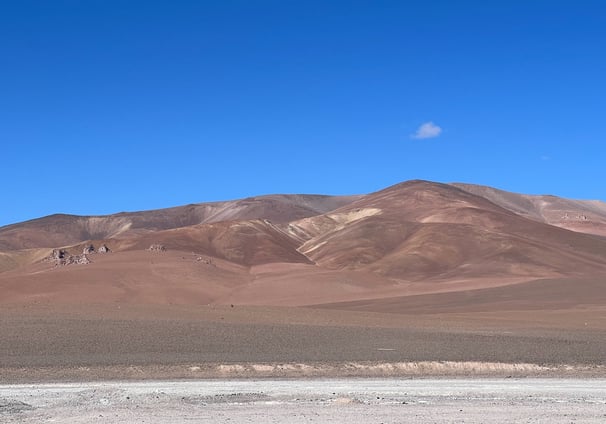
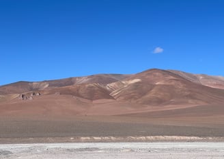
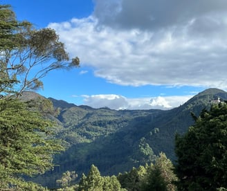
The Andes are divided into three distinct regions: Dry Andes, Wet Andes, and Tropical Andes. The Dry and Wet Andes are mainly in Argentina and Chile which include some of the worlds most extraordinary deserts and glaciers. The Tropical Andes (within Venezuela, Colombia, Ecuador, Peru, Bolivia) is home to nearly 1/6 of all plant life on Earth. The landscape boasts tropical rainforests, cloud forests, and grasslands. Within these diverse habitats are a staggering number of inhabitants: nearly 1,000 species of amphibians, roughly 1,700 species of birds, and 570 documented species of mammals. Most impressively, the tropical Andes are home to 30,000+ species of plants with 60% being endemic to this region.
Climate
The climate can vary dramatically dependent on the specific area of the Andes Mountain range. Generally speaking, the northern stretches of the range in Venezuela and Colombia are mainly rainforest which have warmer temperatures (average 64 deg Fahrenheit) and high levels of precipitation. The central region of the Andes from southern Peru to northern Chile are mainly desert with extreme temperature swings based on the season and the altitude with very little precipitation. In the southern Andes, the climate is wet and cold with extreme winds. To contrast, in the Andes you can experience temperatures in the Atacama Desert of nearly 90 deg Fahrenheit in the summer while the peak of Aconcagua can reach nearly -30 deg Fahrenheit in the winter months.
Geography
The Andes ranges from the north of the continent at the Caribbean Sea to the far south of the continent reaching the archipelago of Tierra del Fuego. Along the way, the Andes forms many high plateaus- some of which are home to major South American cities such as Quito (the second highest altitude capital city in the world 9,350 ft), Bogota, Medellin, and La Paz. The highest peaks in the Andes are generally found in the central region of the Andes within Ecuador and Peru while the lowest altitudes are found in the extreme north and extreme south of the range. The widest point of the Andes lies within Bolivia. The Andes serves as a natural border for Argentina and Chile- in fact the territories were disputed for many years until their governments agreed upon using the impassable mountains as a rough border.
Human history
Dating back to 15,000 BCE, hunter gatherer tribes occupied various regions of the Andes Mountains. Archaeologists believed the first people to have arrived via the Isthumus of Panama and eventually scattered southwards on the narrow coastal plains between the Pacific and the Andes Mountains. After this so-called Lithic Period, the development of these civilizations included advanced agricultural techniques and formation of distinct religious centers. This lasted from 3,500 BCE to 1,800 BCE when the Ceramic Period began. Numerous complex societies began to take shape throughout the Andean region. During these times, we see the emergence of many notable cultures such as the Chavin, Paracas, and Nazca. The most dominant and advanced society being the Incas who in the 15th century CE formed the largest empire ever known to the Americas. By the 16th century, Spanish colonizers arrived conquering these indigenous kingdoms.

Significance
The Andes Mountains are part of a complex mountain chain that extends (noncontinuous) throughout the Americas. This so-called American Cordillera forms the backbone of the Americas and the eastern half of the Pacific Ring of Fire- a horseshoe shaped volcanic belt stretching 25,000 miles that contains 2/3 of the world's most formidable volcanoes.
The Andes also is a major food source for our planet. Maize and potatoes have a 7,000 year history of cultivation here.
The Andes not only has some of the tallest mountains in the world but the highest altitude lakes and largest slat flats. This mountain range also houses some of the largest mineral deposits in the world such as copper, salt, silver, and gold.
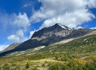
Patagonia
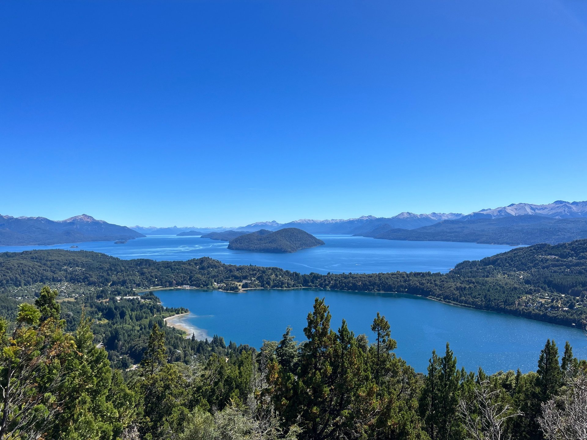
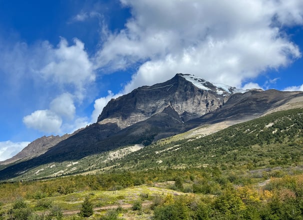
This vast geographical region in southern South America (within Chile & Argentina) is famed for its dramatic, rugged terrain including legendary peaks such as Fitz Roy and prominent glaciers such as Perito Moreno. However, this natural treasure also holds fjords, lakes, and rainforest on the wetter Chilean side plus arid steppes, grasslands, and deserts on the drier Argentine side. Patagonia covers over 400,000 square miles which makes it larger than 80% of countries. Humans have lived in these remote lands for 10,000 years.
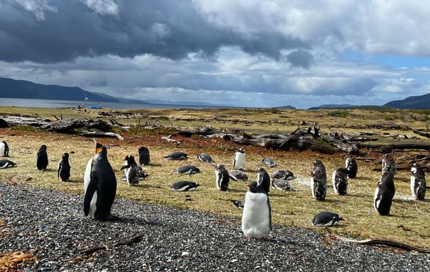
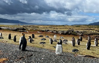
Patagonia has gained much notoriety over the decades with outdoor adventurers and wildlife lovers. With nine national parks, there is endless opportunity for outdoor exploration. There are an estimated 2 million penguins living in Patagonia and some of the best whale watching in the world; you can find orca, humpback, southern rights, and blue whales.